Maps are powerful instruments that shape our understanding of the world, influencing perceptions of size, strategic importance, and economic potential. For centuries, the widely adopted Mercator projection has significantly distorted the representation of Africa, presenting it as considerably smaller than its actual landmass. This cartographic misrepresentation has subtly, yet profoundly, impacted global perceptions of the continent, potentially affecting its perceived significance and economic opportunities. Understanding the implications of these cartographic choices is crucial for fostering a more accurate and equitable global perspective.
The Mercator projection, developed in the 16th century primarily for navigation, distorts areas away from the equator. While it accurately represents shapes and directions locally, it dramatically enlarges landmasses as they approach the poles. Consequently, continents like North America and Europe appear disproportionately larger, while equatorial regions, including the entirety of Africa, are shown to be significantly smaller than they are in reality. This widespread visual bias has ingrained a skewed perception of Africa's true scale, a factor that can subtly influence geopolitical and economic considerations.
The Mercator Projection's Impact on Perceptions
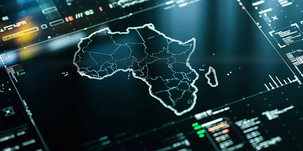
The persistent use of the Mercator map in atlases, educational materials, and even digital interfaces has created a deeply ingrained visual bias. This distortion means that Africa, the world's second-largest continent by land area, is often perceived as being only about one-tenth the size of Europe. In reality, Africa is nearly 14 times larger than Greenland, which appears similar in size to Africa on a Mercator map. This discrepancy is not merely an academic curiosity; it has tangible consequences for how the continent is viewed on the global stage, potentially affecting investment decisions, resource allocation, and international relations.
Historically, cartography has been intertwined with power and colonialism. Maps were not only tools for exploration and administration but also instruments for asserting dominance and shaping narratives. The Mercator projection, by making European colonial powers appear larger and more dominant, inadvertently reinforced existing power structures and Eurocentric viewpoints. Addressing this cartographic injustice by adopting more accurate projections is not just about correcting a visual error; it is about reclaiming a more equitable representation of the world and acknowledging the true scale and potential of all continents.
Accurate Projections and Their Benefits
Fortunately, the technical challenges of creating and implementing more accurate map projections are far from insurmountable. Numerous alternative projections exist that offer a more truthful representation of landmass sizes, such as the Gall-Peters projection or the Mollweide projection. These projections prioritize area accuracy, providing a more realistic visual understanding of global geography.
The adoption of these more equitable maps could lead to profound symbolic and material consequences. A more accurate visual representation of Africa's vastness could foster a greater appreciation for its diverse resources, economic potential, and strategic importance. This could, in turn, encourage more balanced global engagement, attract greater investment, and support development initiatives that are commensurate with the continent's true scale and capabilities. The shift would represent a move towards 'cartographic justice,' aligning spatial representation with factual reality.
Moving Towards Cartographic Equity
The transition to more accurate map projections requires a concerted effort from educators, geographers, policymakers, and the public. Educational institutions play a vital role in teaching with diverse map projections, helping students develop a more nuanced understanding of global geography from an early age. Governments and international organizations can promote the use of equitable maps in official publications and digital platforms.
While the technical implementation is straightforward, the real challenge lies in shifting long-held perceptions and challenging the inertia associated with established conventions. The symbolic power of maps is immense, and changing them requires a deliberate acknowledgment of their historical biases and a commitment to a more truthful and equitable representation of our world. Embracing accurate cartography is a step towards a more informed and just global understanding.
Impact Analysis
The widespread adoption of more accurate map projections for Africa could significantly recalibrate global perceptions of its economic and strategic importance. By visually correcting the historical underrepresentation of its landmass, these new cartographic tools can foster a more balanced understanding of the continent's vast resources, diverse markets, and development potential. This shift in perception, driven by cartographic justice, has the potential to influence international investment flows, trade relations, and geopolitical considerations, moving away from a Eurocentric view towards a more accurate, equitable global perspective.