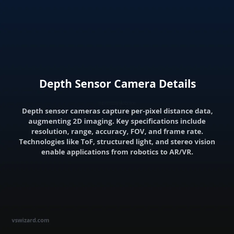
Depth sensor cameras are specialized imaging devices engineered to capture not only the two-dimensional color or intensity information of a scene but also a precise, per-pixel measurement of the distance from the sensor to each point in the scene. This depth data is typically represented as a grayscale image, often referred to as a depth map, where pixel intensity correlates to distance. The fundamental principle relies on inferring depth through various physical phenomena or computational algorithms. These sensors are integral to applications requiring spatial understanding, such as three-dimensional reconstruction, object recognition in volumetric space, advanced human-computer interaction, and autonomous navigation systems.
The detailed specifications of a depth sensor camera encompass a range of critical parameters that define its performance and suitability for specific applications. These include, but are not limited to, the sensor's resolution (both for the visual image and the depth map), the maximum and minimum sensing range, depth accuracy and precision, field of view (FOV), frame rate, power consumption, and operational wavelength (for active sensors). Understanding these details is crucial for system integrators and developers to select the appropriate sensor technology and configure it optimally for their intended use case, ensuring reliable and accurate spatial data acquisition.
Mechanism of Action
Time-of-Flight (ToF) Sensors
Time-of-Flight cameras operate by emitting light pulses (typically infrared) and measuring the time it takes for these pulses to return to the sensor after reflecting off objects in the scene. The distance ($d$) is calculated using the formula $d = (c imes t) / 2$, where $c$ is the speed of light and $t$ is the round-trip time of the light pulse. Advanced ToF sensors utilize modulated continuous-wave signals rather than discrete pulses, measuring the phase shift between the emitted and received signal to determine distance. This method offers a high frame rate and can operate under ambient light conditions, although performance can be affected by highly reflective or absorptive surfaces.
Structured Light Sensors
Structured light systems project a known pattern of light (e.g., dots, lines, or grids) onto a scene. A dedicated camera then observes the distortion of this pattern caused by the geometry of the objects. By triangulating the observed pattern against the known projection, a depth map is generated. The accuracy is highly dependent on the complexity of the projected pattern, the camera's resolution, and the baseline distance between the projector and the camera. These sensors are typically sensitive to ambient light and can struggle with highly specular or transparent surfaces.
Stereo Vision Cameras
Stereo vision systems employ two or more cameras with a known separation distance (baseline) to capture a scene from slightly different perspectives, mimicking human binocular vision. Depth is computed by identifying corresponding features in the images from each camera and using triangulation principles. The disparity (the difference in the image coordinates of a point) between the two views is inversely proportional to the object's distance. This technique is passive, relying only on ambient light, but requires sophisticated algorithms for feature matching and can be computationally intensive. Its accuracy diminishes rapidly with distance.
LiDAR (Light Detection and Ranging)
While not always integrated into a single camera unit, LiDAR systems are fundamentally depth sensing technologies. They emit laser pulses and measure the reflected light to determine distances. Rotating LiDAR units create a 360-degree point cloud, while solid-state LiDAR offers more compact, fixed-field-of-view solutions. LiDAR excels in range and accuracy but can be more expensive and susceptible to weather conditions like fog or heavy rain.
Key Technical Specifications
Resolution
The resolution of a depth sensor camera refers to the number of pixels in the depth map. Higher resolution allows for more detailed depth information and finer object discrimination. Standard resolutions range from VGA (640x480) to HD (1280x720) and beyond for advanced applications. The visual camera, if present, may have a different or higher resolution.
Range
This specifies the minimum and maximum distances at which the sensor can reliably detect objects and provide accurate depth measurements. The range is highly dependent on the sensor's technology (ToF, structured light, stereo), the intensity of the emitted light (for active sensors), and the reflectivity of the target surface.
Accuracy and Precision
Accuracy refers to how close the measured depth value is to the true depth, while precision refers to the repeatability of measurements under identical conditions. These are typically specified as a percentage of the measured distance or as an absolute value (e.g., ±1 cm). Factors like sensor noise, ambient light interference, and target surface properties significantly impact accuracy and precision.
Field of View (FOV)
The FOV defines the angular extent of the scene that the camera can capture. It is usually specified horizontally and vertically (e.g., 60° H x 45° V). A wider FOV captures more of the surrounding environment but may lead to reduced depth accuracy at the edges.
Frame Rate
This indicates the number of depth frames the sensor can capture and process per second (fps). Higher frame rates are crucial for applications involving fast-moving objects or real-time interaction, such as robotics and augmented reality.
Wavelength
For active sensors like ToF and structured light, the operating wavelength (e.g., 850nm, 940nm) is important for regulatory compliance (eye safety), interference management with other sensors, and interaction with different materials (e.g., some wavelengths penetrate certain materials better than others).
Industry Standards and Formats
Several industry standards and data formats are relevant to depth sensor cameras. The OpenNI (Open Natural Interaction) framework was an early effort to standardize depth sensor data streams and middleware. More recently, formats like Point Cloud Library (PCL) and ROS (Robot Operating System) provide robust tools and data structures for handling 3D point cloud data, which is the common output for many depth sensing modalities. For depth images, 16-bit grayscale PNG or TIFF formats are often used, with specific bit depths mapping to specific distance ranges. Standards for eye safety (e.g., IEC 60825-1) are critical for active sensors emitting light.
Applications
Robotics and Autonomous Systems
Depth sensors are fundamental for robot navigation, obstacle avoidance, Simultaneous Localization and Mapping (SLAM), and object manipulation. Autonomous vehicles use them extensively for environmental perception.
Augmented Reality (AR) and Virtual Reality (VR)
Accurate depth perception is vital for overlaying virtual objects onto the real world in AR and for creating immersive, spatially aware virtual environments in VR. This includes hand tracking, body pose estimation, and scene understanding.
Human-Computer Interaction (HCI)
Gesture recognition, body tracking for interactive displays, and advanced interfaces that respond to user position and proximity rely heavily on depth sensing capabilities.
3D Scanning and Modeling
Creating digital twins of real-world objects, environments, or people for documentation, analysis, or replication often utilizes depth sensor data, sometimes in conjunction with traditional photogrammetry.
Industrial Automation
Applications include quality control, bin picking for robotic arms, and monitoring of production lines where precise spatial measurements are required.
Performance Metrics and Benchmarking
Evaluating depth sensor cameras involves several key metrics:
| Metric | Description | Typical Units | Factors Influencing |
|---|---|---|---|
| Depth Accuracy | Closeness of measured depth to true depth. | mm, cm, % of range | Sensor technology, ambient light, surface reflectivity, range |
| Depth Precision (Noise) | Repeatability/variability of depth measurements. | mm, cm | Sensor design, signal processing, ambient light |
| Range (Min/Max) | Operational distance limits. | meters (m) | Emitter power, sensor sensitivity, ambient light |
| Spatial Resolution | Detail resolvable in the depth map (pixels). | Pixels (e.g., 640x480) | Image sensor pixel count, lens characteristics |
| Angular Resolution | Smallest angular separation resolvable. | Degrees | FOV, spatial resolution |
| Frame Rate | Number of depth frames per second. | Frames Per Second (fps) | Sensor readout speed, processing power, data bandwidth |
| Latency | Time delay from scene capture to data availability. | milliseconds (ms) | Sensor processing, communication bus speed |
Pros and Cons
Pros
- Enables true 3D spatial understanding of environments.
- Crucial for autonomous operation and human-robot interaction.
- Enhances immersion in AR/VR experiences.
- Provides data for detailed 3D reconstruction and analysis.
- Active sensors can work in low-light or no-light conditions.
Cons
- Can be more expensive than standard 2D cameras.
- Performance can be degraded by challenging surface properties (specular, transparent, highly absorptive).
- Active sensors can be affected by ambient light interference or limitations in range.
- Data processing can be computationally intensive.
- Susceptible to interference from other depth sensors operating in proximity.
Evolution and Future Trends
The evolution of depth sensor cameras has seen a trajectory towards increased resolution, improved accuracy, extended range, and reduced form factors. Miniaturization driven by mobile device integration has led to advancements in technologies like wafer-level optics and integrated sensor fusion. Future trends include the development of event-based depth sensors offering extremely high temporal resolution and low power consumption, enhanced robustness against interference and challenging surfaces, and tighter integration with AI/ML algorithms for semantic scene understanding directly from depth data. The convergence of depth sensing with other modalities like thermal imaging and higher-resolution visual sensors is also expected to yield more comprehensive environmental perception systems.